


Grafted Land 2016-2017, 2017
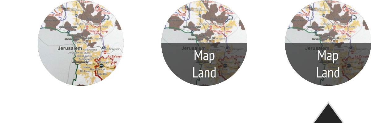
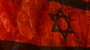
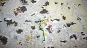
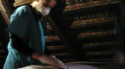
Grafted Map (2016-17) is part of the Wounded Land Series of works that originated during the Second Intifada when Closure maps of Jerusalem, produced by OCHA, were cut, shredded and dressed with sterile gauze. The dressing and the sewing of these new maps acted as a metaphorical healing of the wounded city.
In the present work I chose to work with a Palestinian map entitled: ‘The Holy Land, Palestine, and Israel’ sold as touristic maps in the Old City of Jerusalem. Edited in 2010 these maps are produced by the Palestine Mapping Center in Bethlehem. On the original map, Israel and the areas of the West Bank, Gaza and the Golan Heights bear different colors.
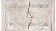
In the Grafted Maps, the disputed areas are detached from the body of the map then covered in gauze and stitched with a green thread. The graft operation has left red stains and scars. The segment the Judea & Samaria on the Mandatory maps of Palestine, also known as The West Bank following its occupation by Jordan in 1948, bears an uncanny resemblance to an embryo. Frozen in time, it lacks a definite name and political status. In later works the embryo will be totally excised from the map, an orphan lacking a definite mother-land.
Ariane Littman
February 2020